- Dr. George Nash
- Dr. Angelo Fossati
- Dr. Dario Sigari
- Lucy Birkbeck
- Peter Robinson
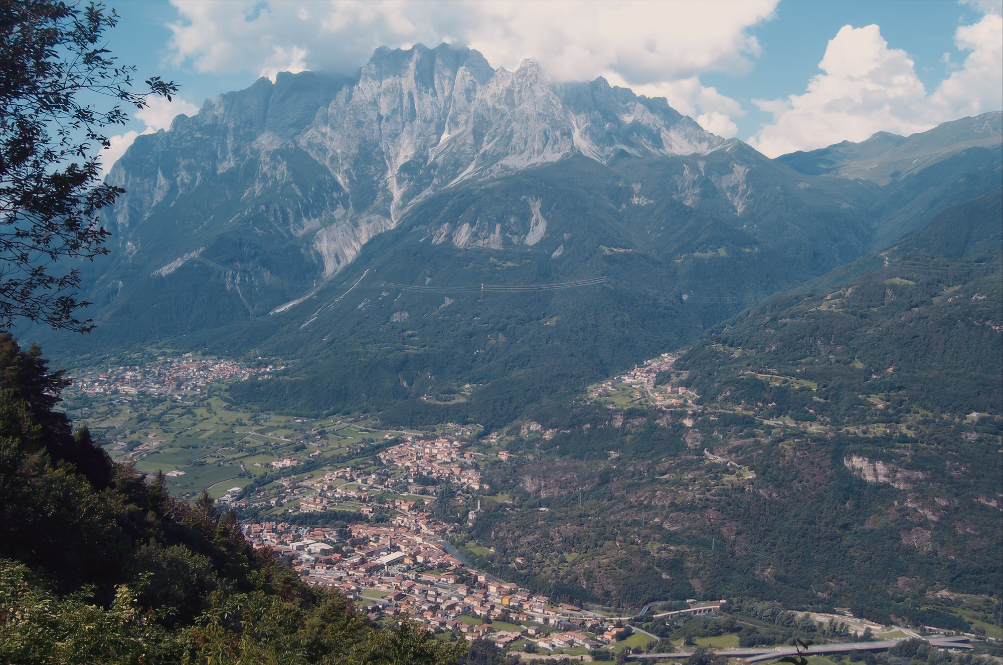
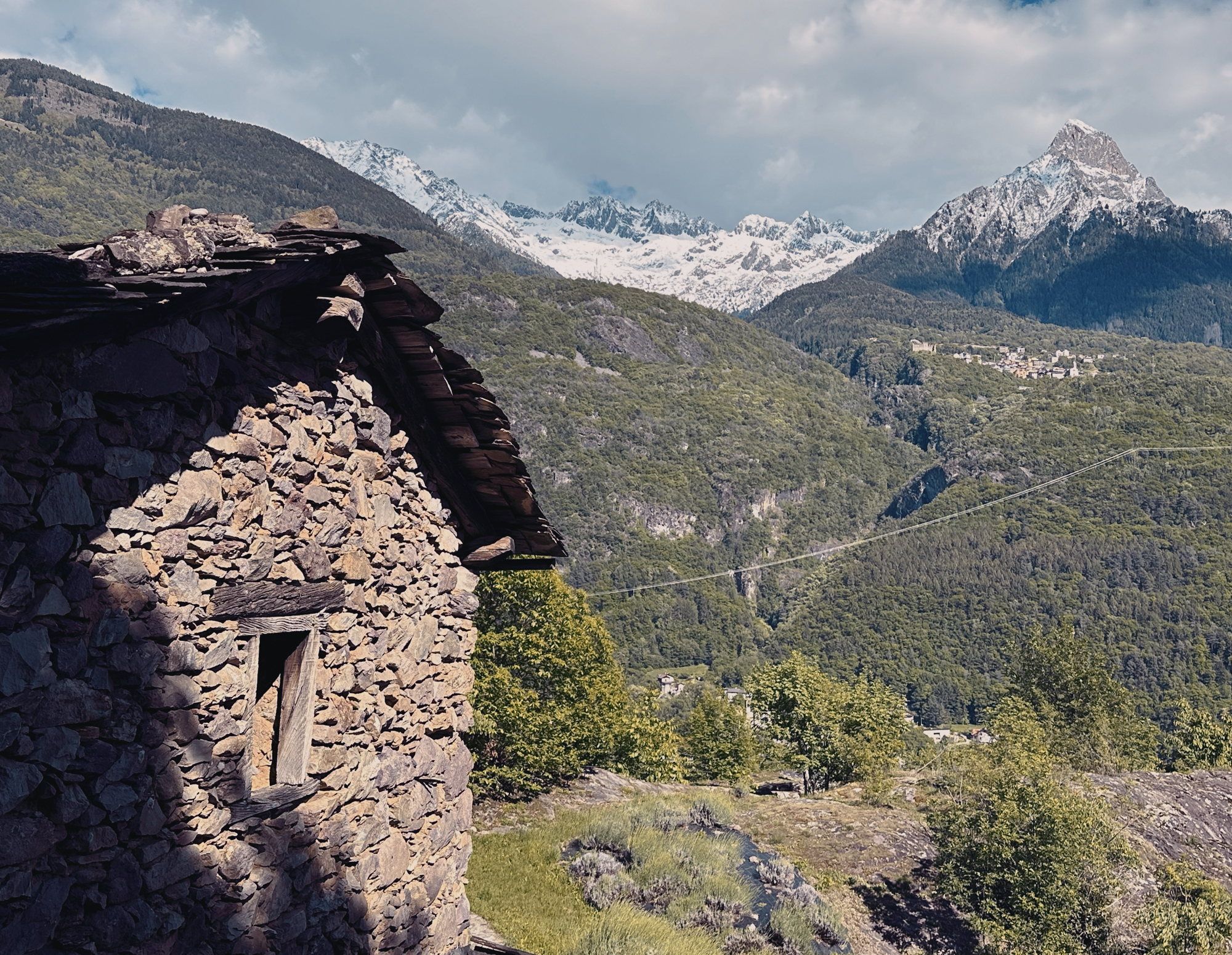
The rock art of Valcamonica in Lombardy, northern Italy, represents one of the most important prehistoric art complexes in the world. The wide U-shaped alpine valley, running northward from the Po Plain in the south towards the snow-capped Italian Alps, consists of vast numbers of petroglyphs carved into rock, created over thousands of years.
The rock art of Valcamonica has one of the longest and best‑documented histories of discovery, study, and reinterpretation of any prehistoric art site in Europe. Its research story spans more than a century, moving from local awareness to global recognition and sustained scientific investigation. Locals had always called them pitoti — 'scribbles' — because they resembled children’s drawings. They were part of the landscape but not considered historically significant.
Dr. Angelo Fossati is a researcher at the University of Milan and the University of Brescia. He is a consultant for the Ministry of Heritage and culture in Oman. Dr. Dario Sigari is a Tenure Track Researcher in Prehistory at the University of Milan, a Visiting Scholar at the University of Ferrara and Collaborator at Coimbra University.
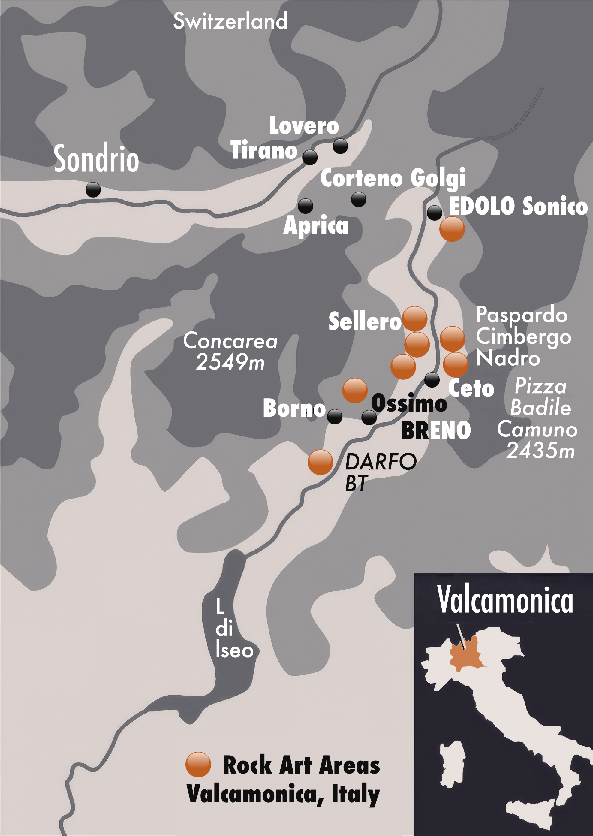
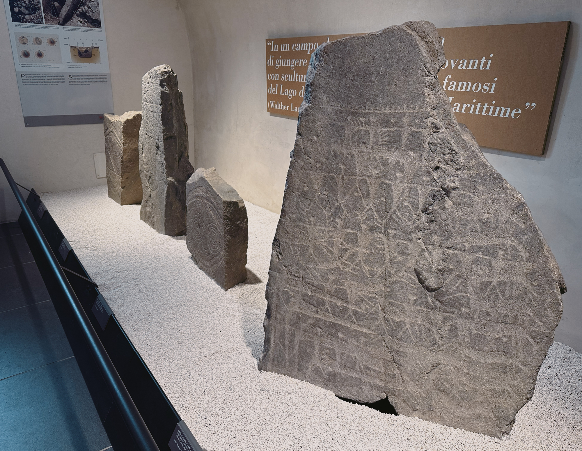
Of the 8 rock art parks in Valcamonica, on Day 1 we visited Massi di Cemmo National Park in Capo di Ponte, Seradina-Bedolina Archaeological Park in Capo di Ponte and - at night - Rock Art Natural Reserve of Ceto, Cimbego, Paspardo. Day 2 took us to Naquane Rock Art National Park in Capo di Ponte and the Luine Area of Lago Moro Park in Darfo Boario Terme. We also visited the Museo Nazionale della Preistoria - National Museum of Prehistory of Valle, housed in Villa Agostani, a 16th-century building in Capo di Ponte.
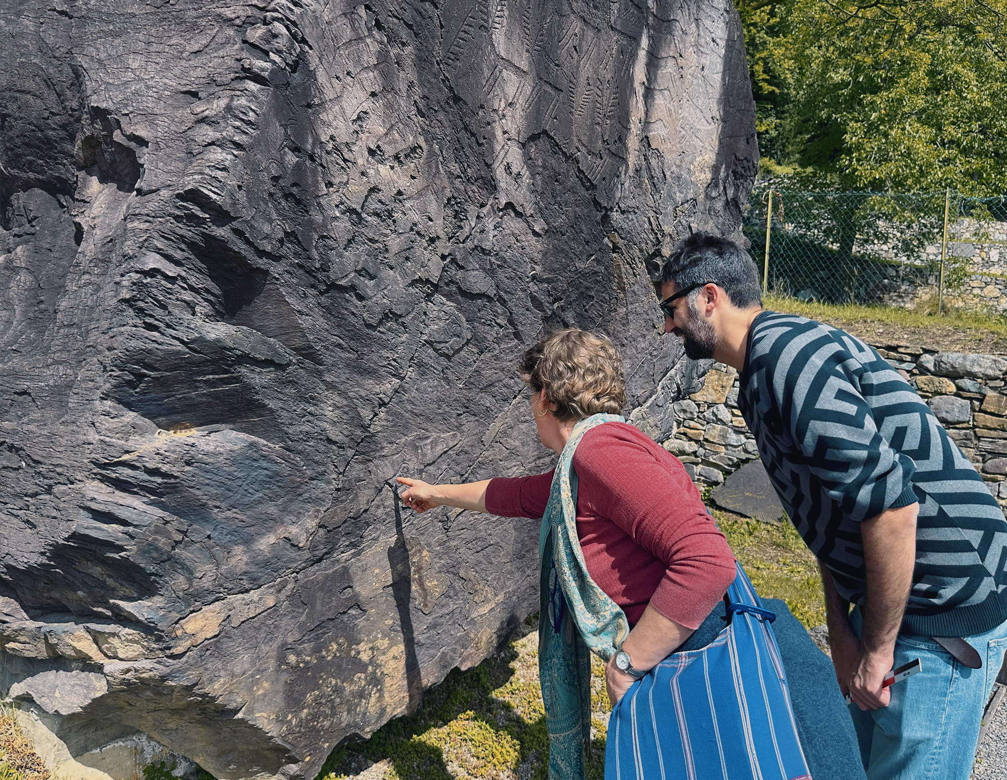
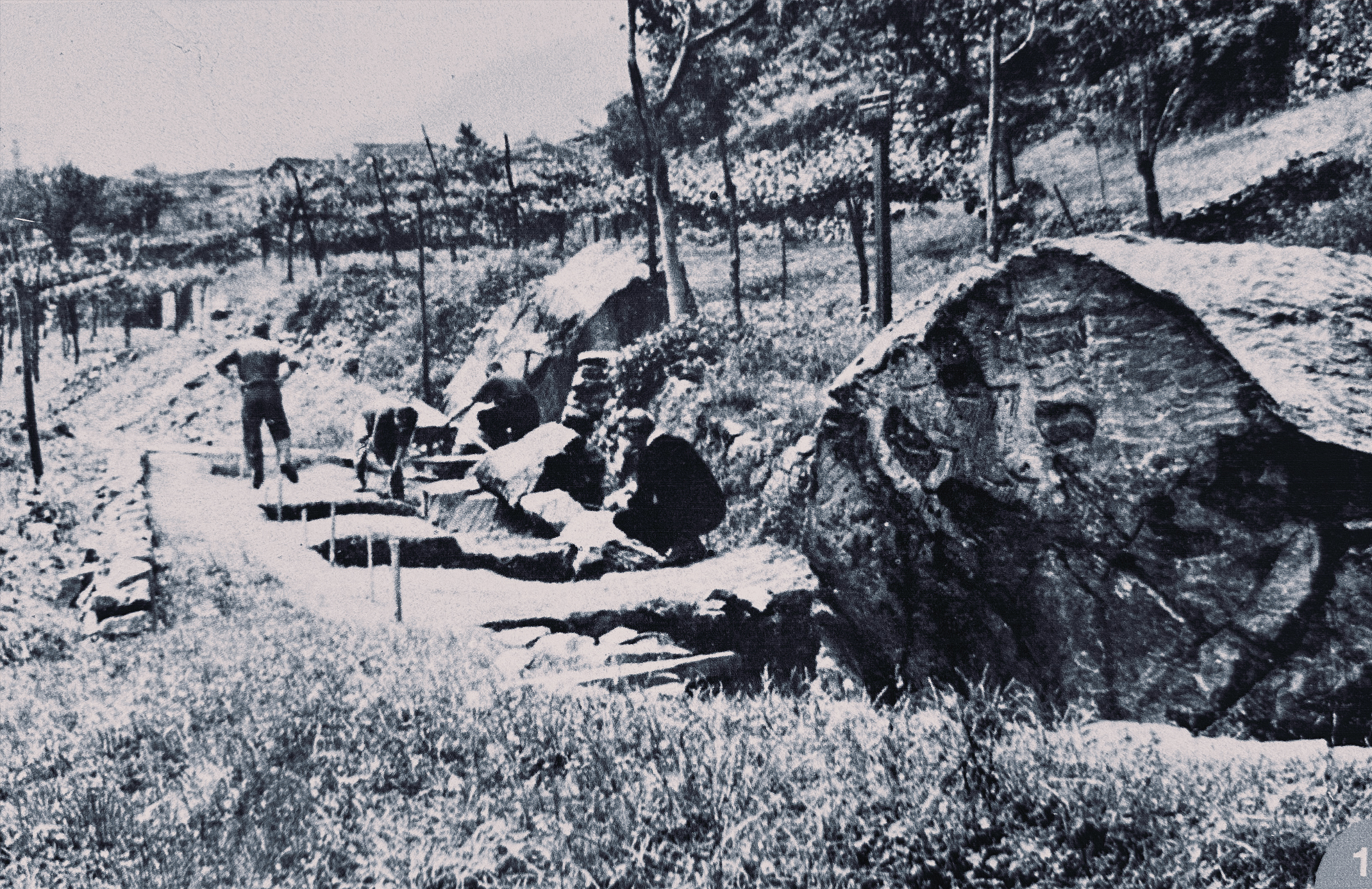
Recognition of cultural significance came in 1914, when Gualtiero Laeng, a Brescian alpinist and geographer, reported the decorated boulders of Cemmo in a Touring Club guide. He spent his summers in Valcamonica from a young age, giving him long familiarity with the landscape and its unusual carved stones. His first guided visit was in 1908; he recalled guiding a group to the engraved boulder now known as Cemmo Boulder 1 ('Preda dei Pitoti'). In 1909 came the first official report where he formally notified the National Committee for the Protection of Monuments of 'the existence of two engraved boulders at Pian delle Greppe, near Cemmo' and comparing them to the famous engravings at Lac des Merveilles in the Maritime Alps.
This is the first official mention of Valcamonica rock art in modern times. Laeng’s report triggered interest among Italian scholars and laid the foundation for systematic study which began in the 1920's with structured surveys of the valley’s carved rocks. From the 1950's post‑war scientific research shifted decisively toward archaeology, anthropology, and prehistory as well as the birth of institutions. Over the next ten years Italian scholars expanded surveys, refined chronology, and began interpreting the engravings as part of long cultural sequences from the Epipaleolithic through the Iron Age. 1964 saw the founding of the Centro Camuno di Studi Preistorici (CCSP), marking a major institutional milestone. CCSP became the central hub for documentation, conservation, and interpretation. It introduced rigorous recording methods, interdisciplinary collaboration, and international symposia.
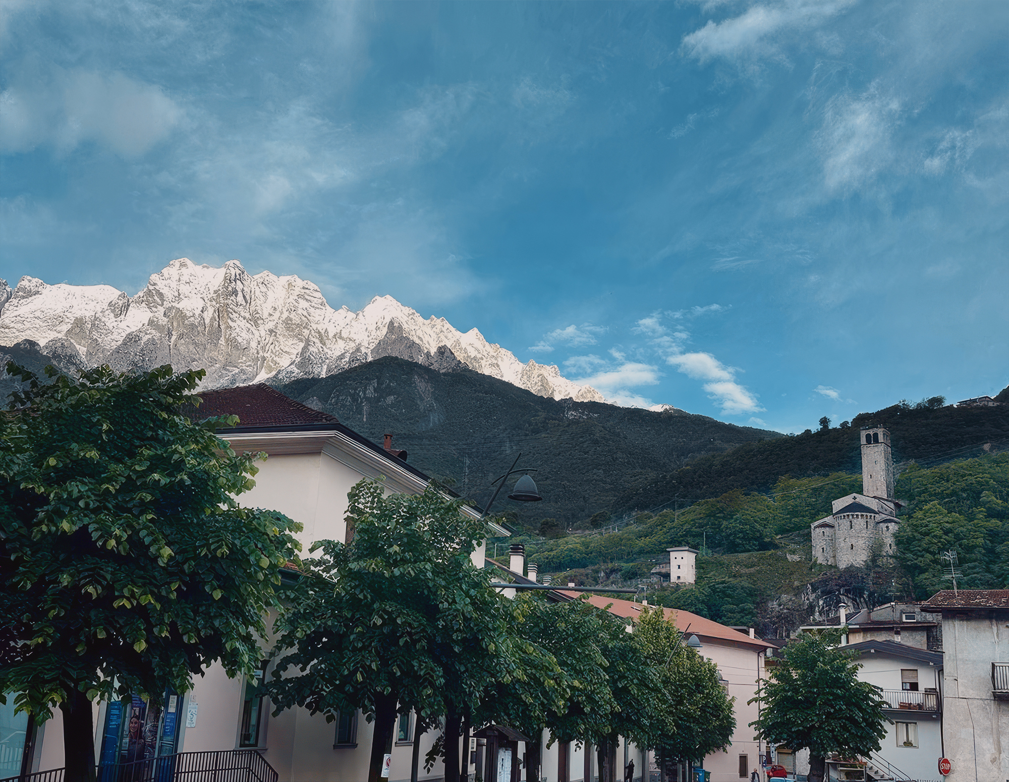
Ponte
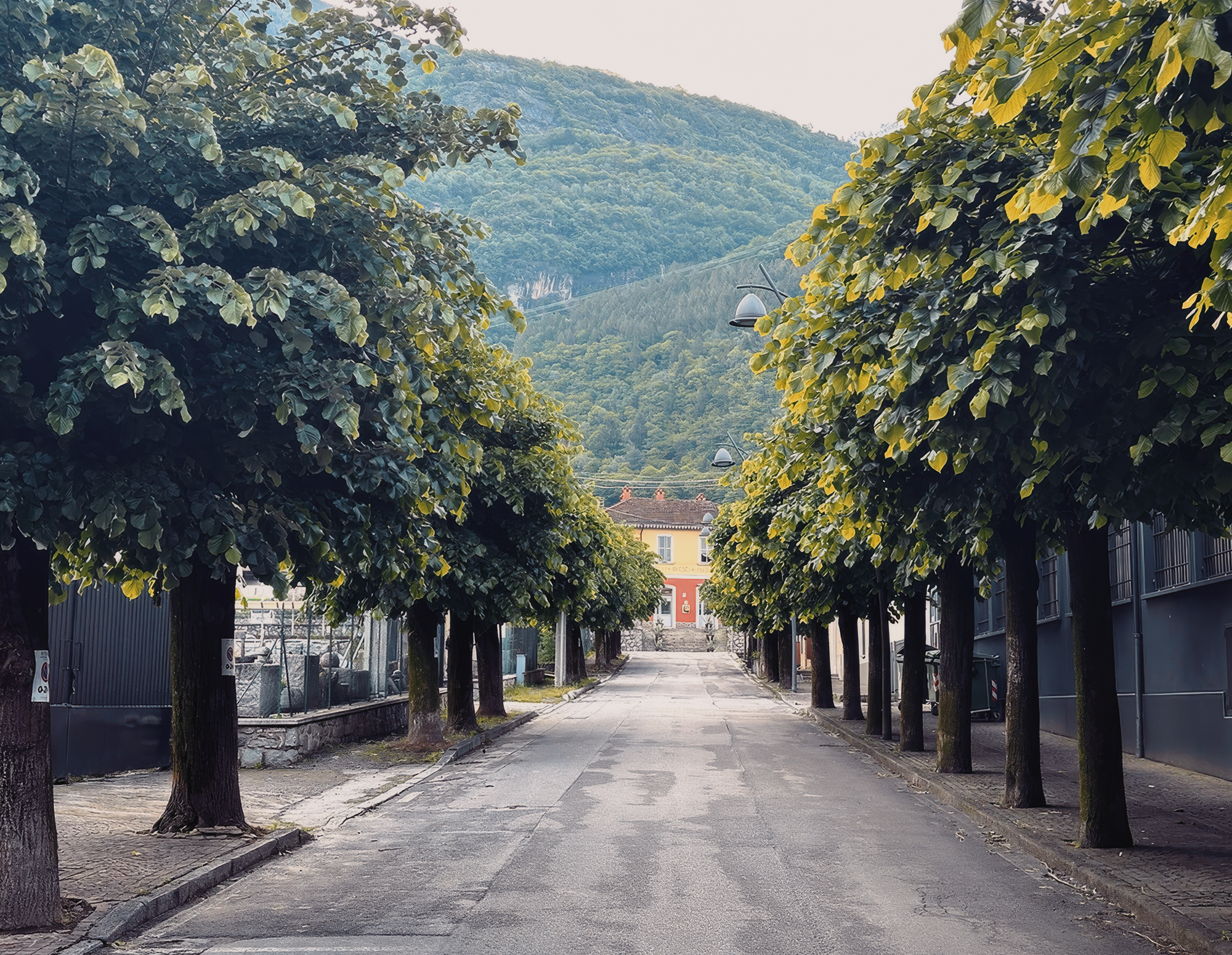
Ponte
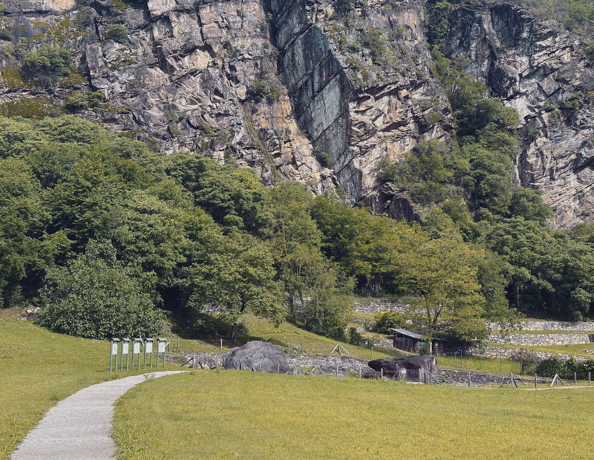
National Park
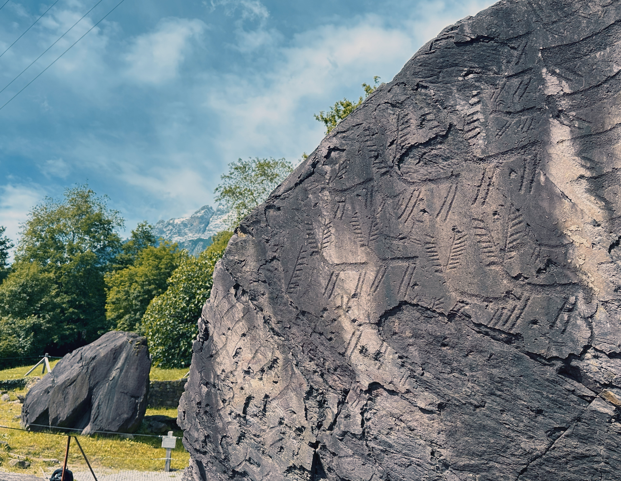
of the boulders
della Preistoria
studying the engravings
The Seradina-Bedolina Archaeological Park on the western side of the valley preserves thousands of prehistoric rock engravings, including the world-famous 'Bedolina Map'.
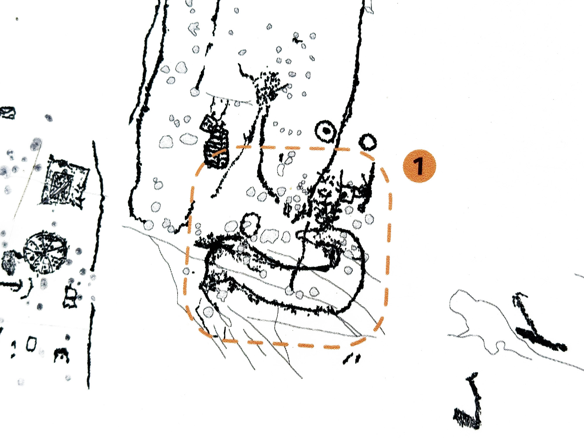
The Bedolina Map is found in the highest part of the park. This Late Bronze-early-Iron Age (2nd to 1st millennium BCE) engraving is widely considered to be one of the earliest known topographic maps, depicting an ancient settlement layout, cultivated fields, and pathways.
Generally, the park spans hundreds of engraved rocks (roughly the age of the Bedolina Map) with common motifs including warriors, duelling figures, hunting scenes, and ploughing scenes.
Nazionale della Preistoria
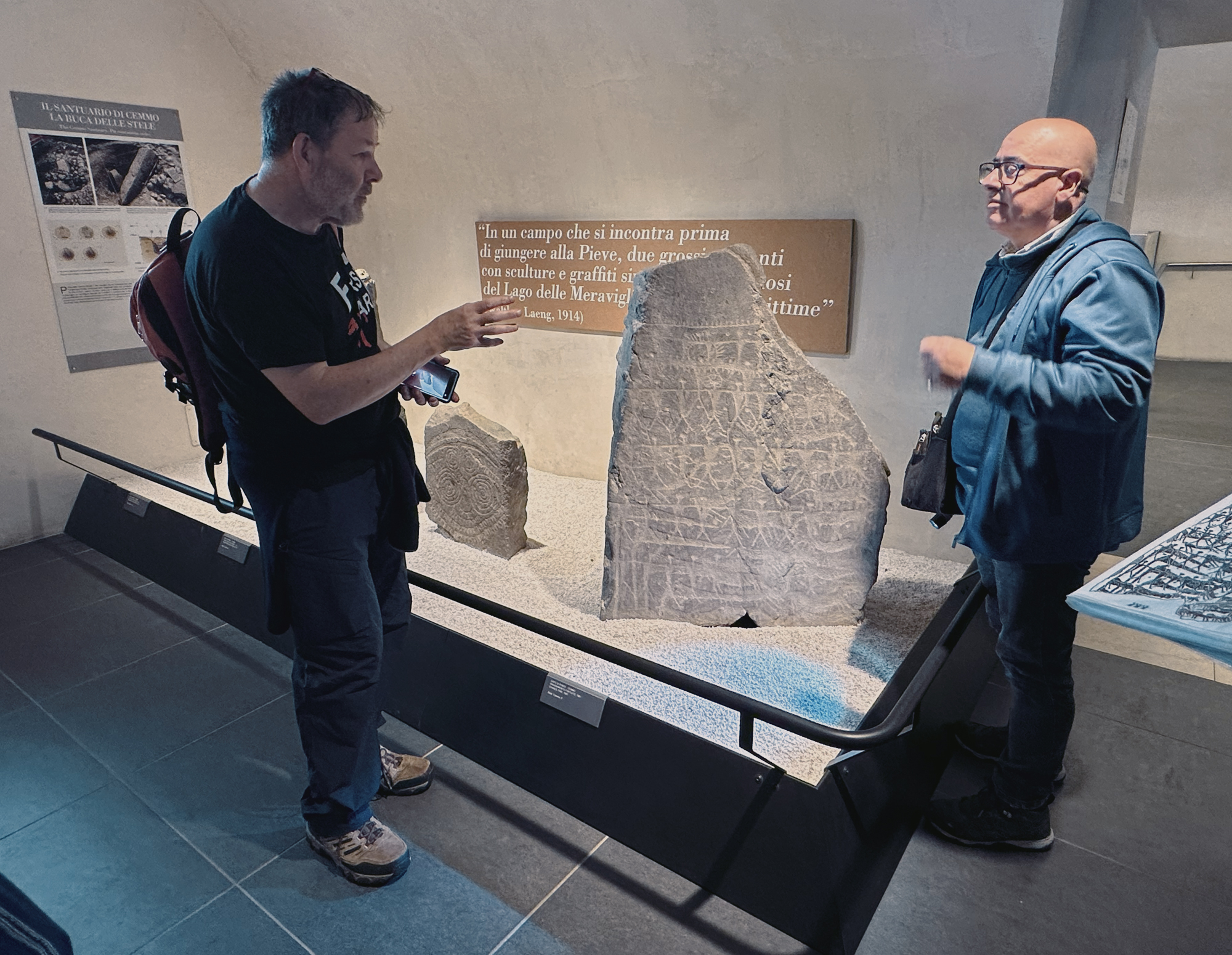
in Museo Nazionale della Preistoria
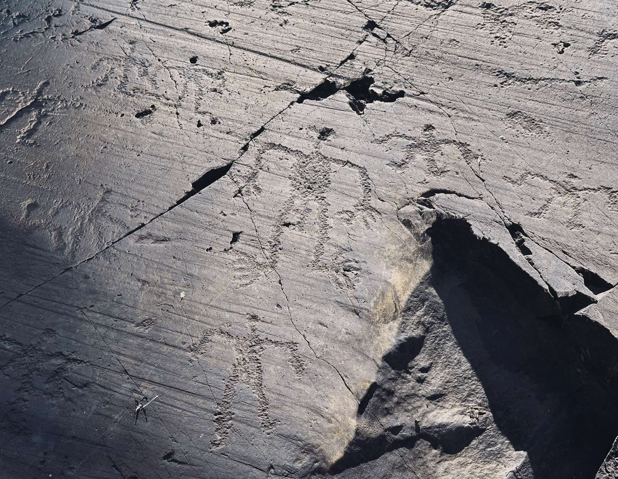
Archaeological Park
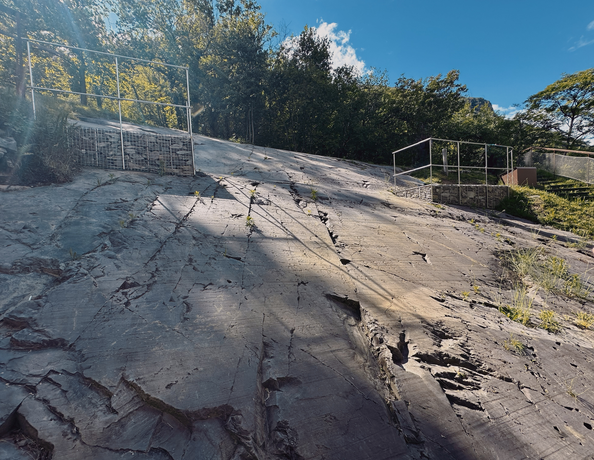
Seradina-Bedolina
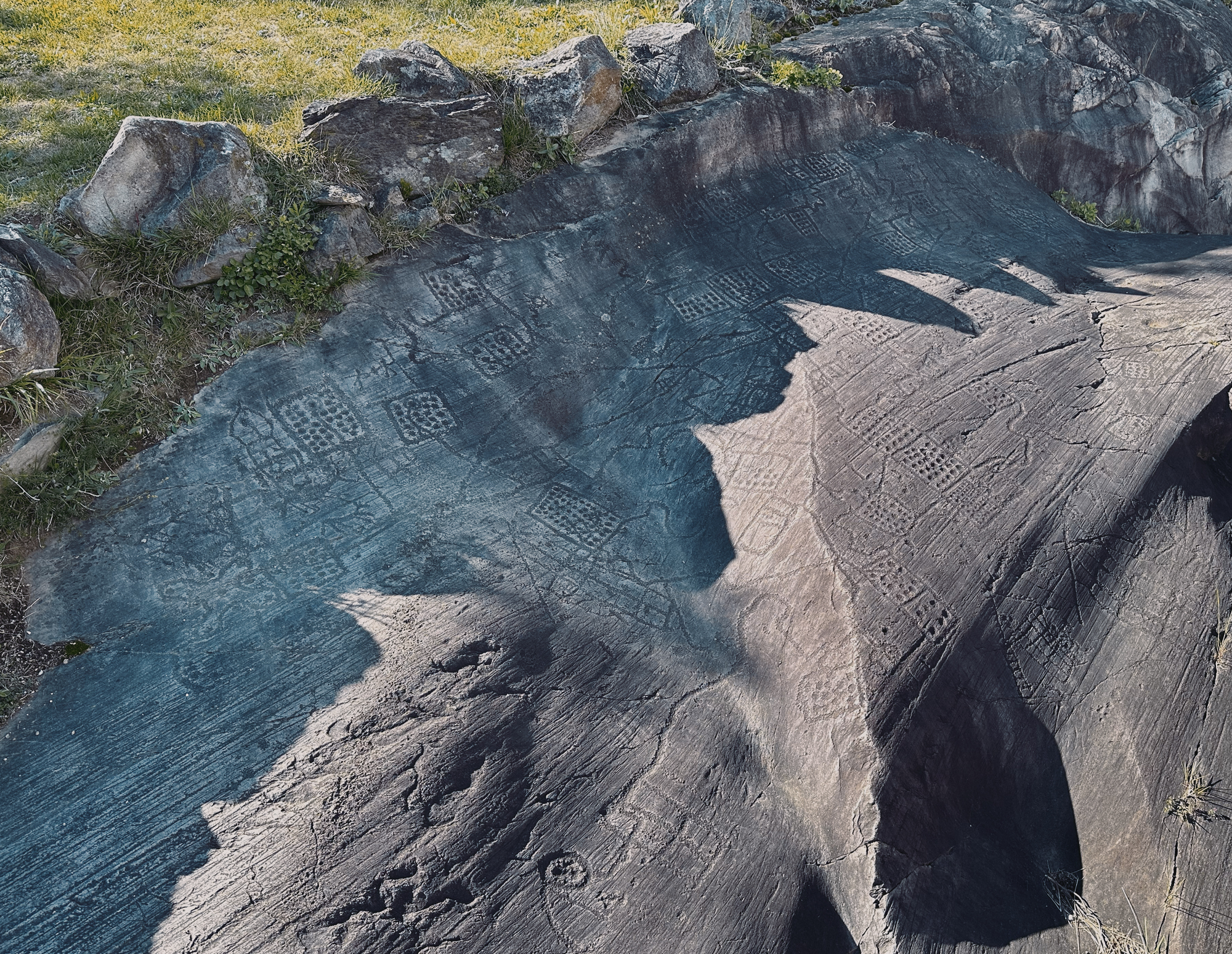
Seradina-Bedolina
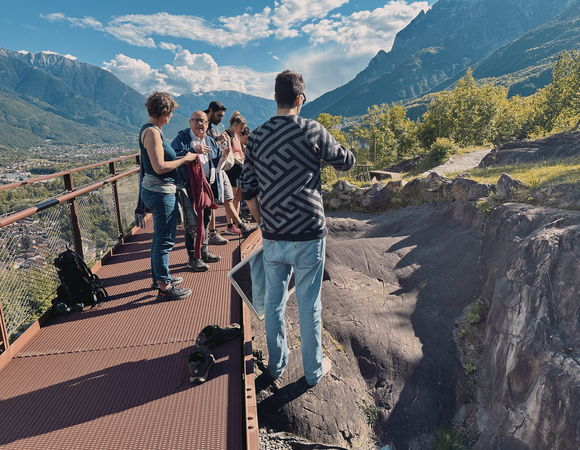
viewing platform
Rock Art Natural Reserve of Ceto, Cimbego, Paspardo - which we visited at night - is on the eastern side of the valley, and includes over 500 rocks, engraved throughout millennia from prehistoric times to the Middle Ages.
Among its most relevant rocks there are Rock1, carved with two four-petal Camunian roses and bladed-axe motifs, dating back to the Late Iron Age; Rock2, with numerous Iron Age warriors and some shovel motifs; and Rock5, dominated by a large carving of a warrior figure.
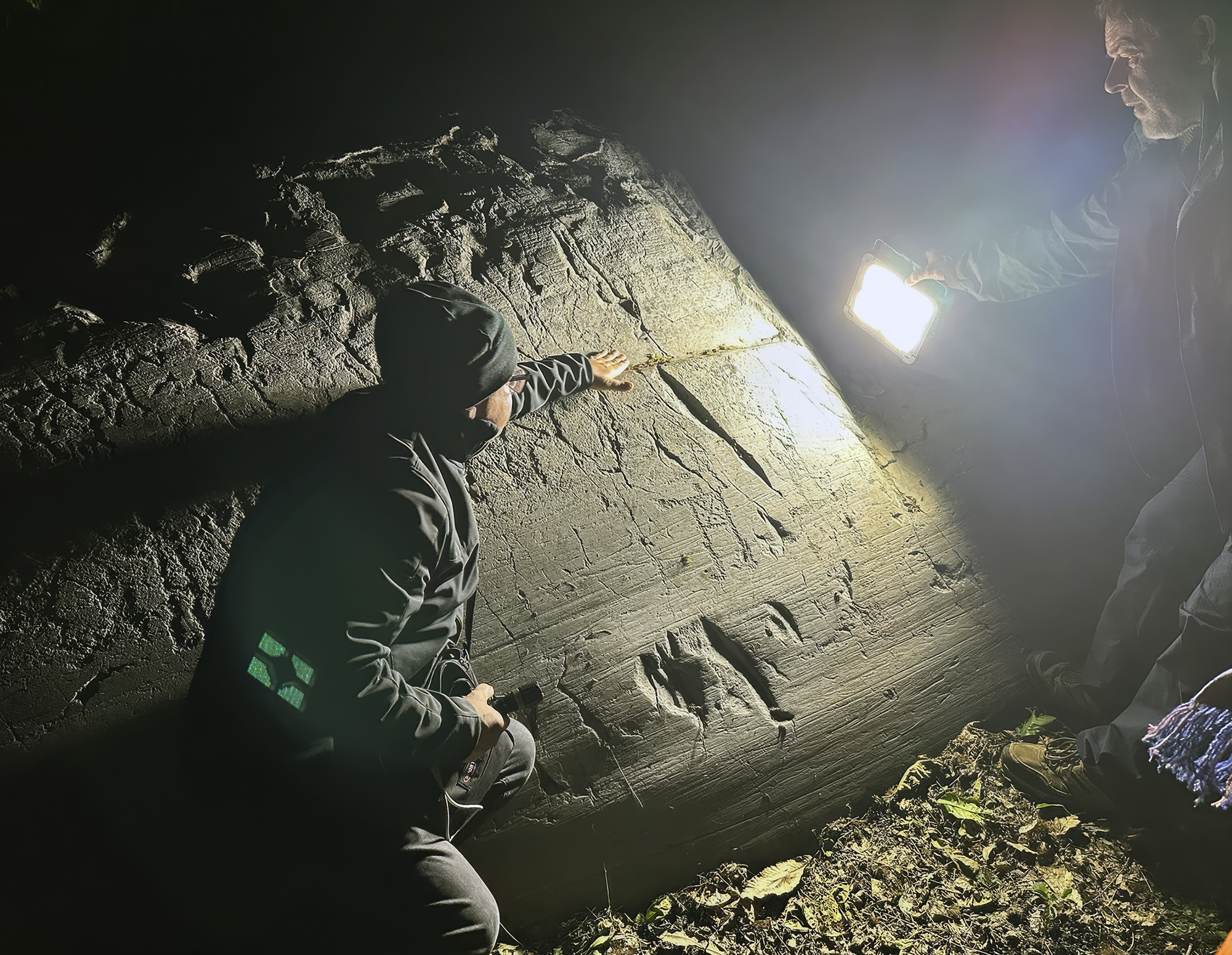
Natural Reserve of Ceto
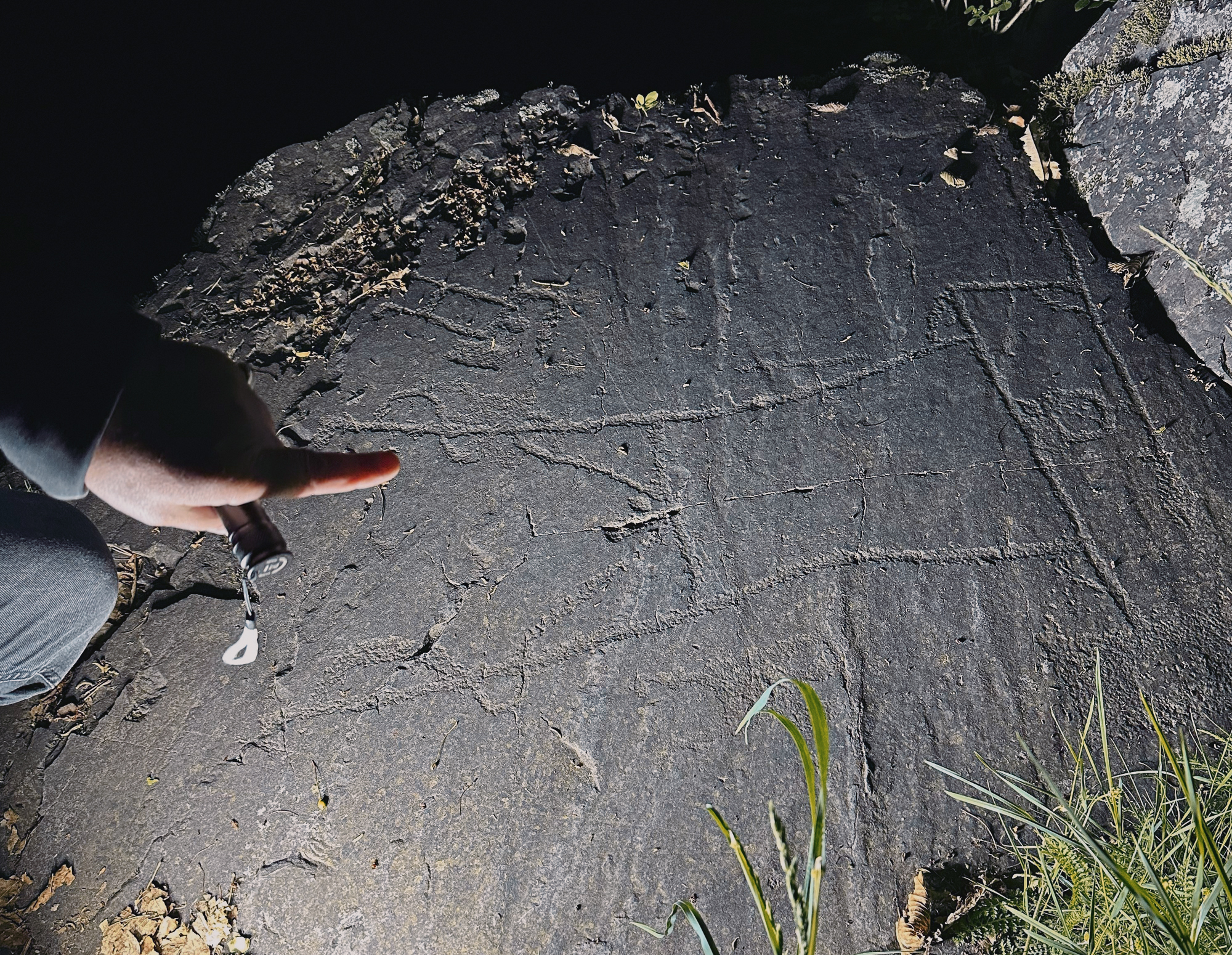
warrior figure at Paspardo
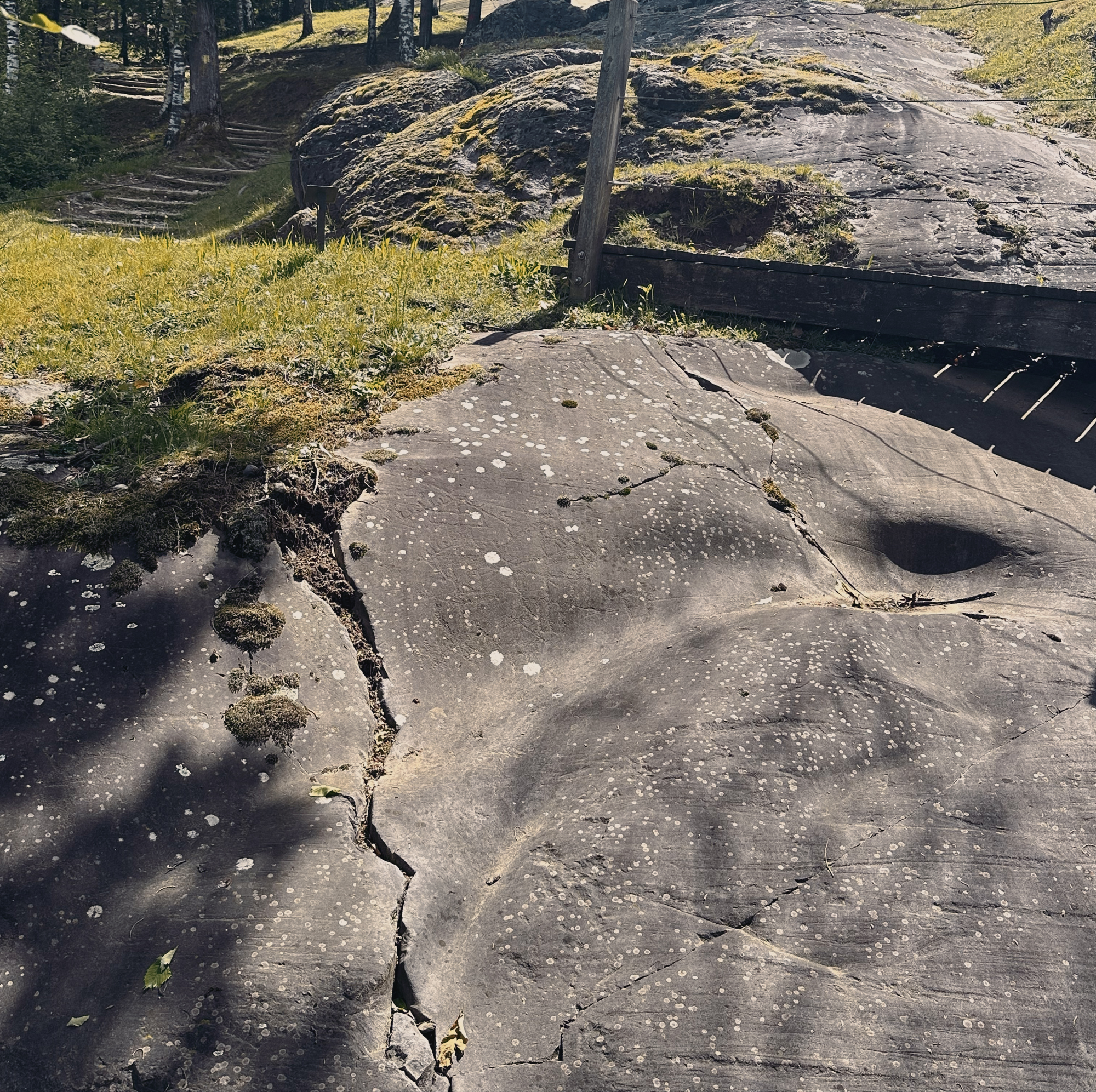
National Park
Rock Art National Park
studying the engravings
National Park
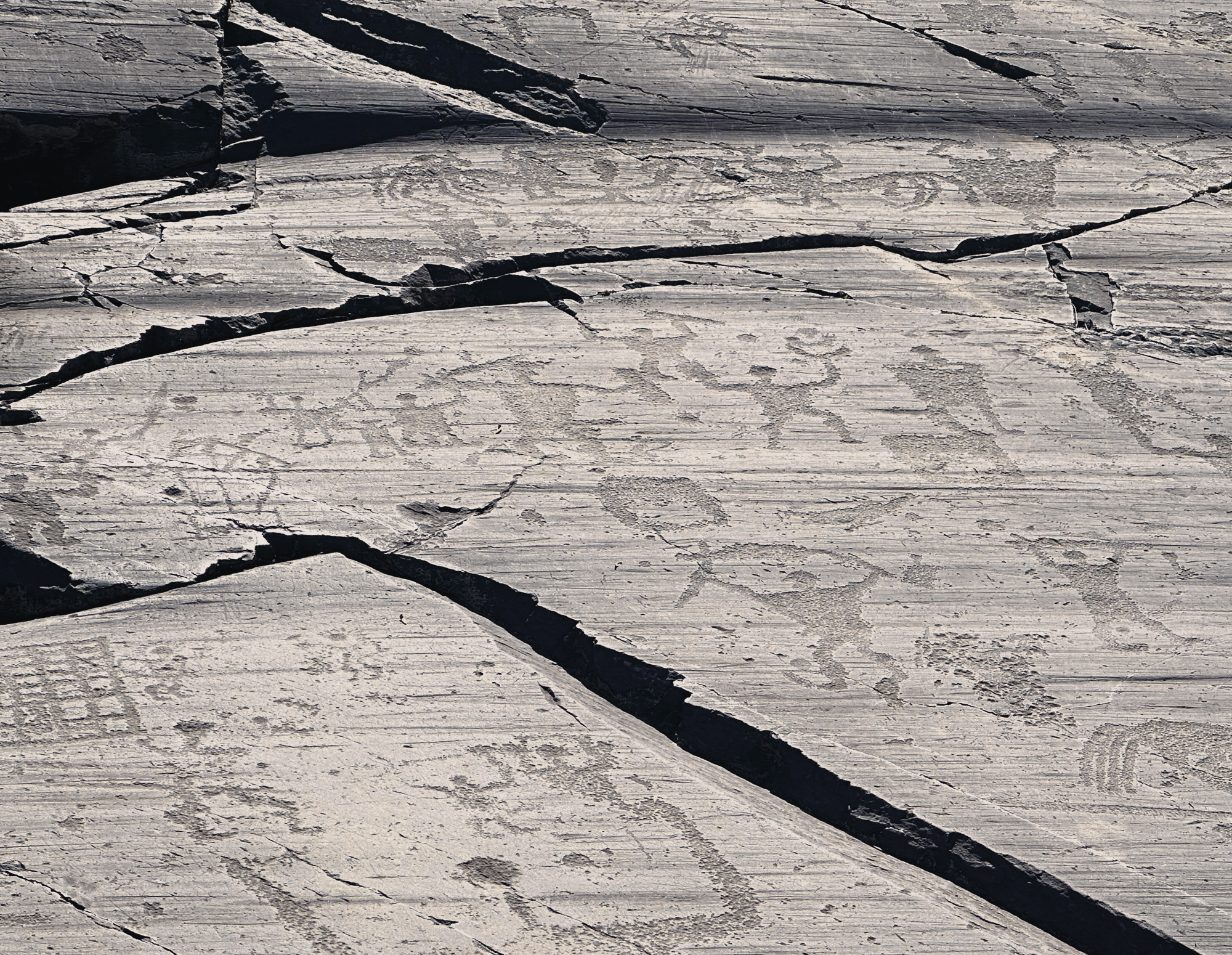
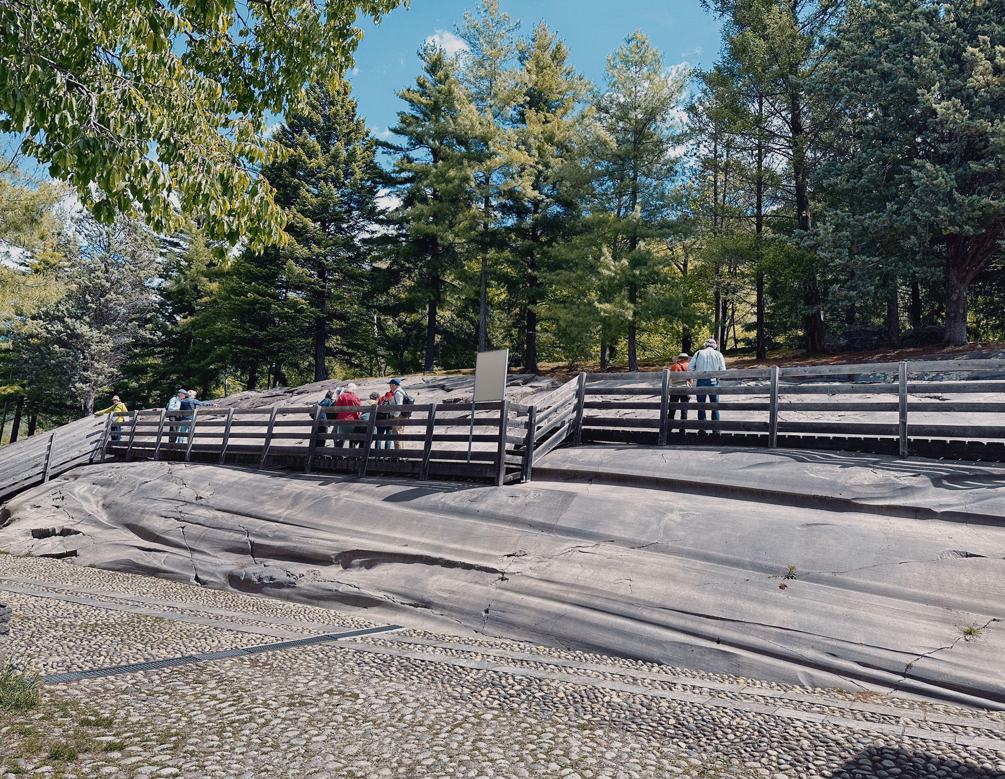
Naquane Rock Art National Park covers a fecund wooded area of over 14 hectares on the eastern side of the valley with over 100 engraved outcrops. On the extensive surfaces of the outcropping silver/grey Permian sandstone - Verrucano Lombardo - smoothed and shaped by glaciers, we observed (in bare feet) engraved images depicting figurative and symbolic motifs, relating to both everyday life and the spiritual worlds. Most of the Naquane engravings date from the Neolithic (5th millennium BC) to the Iron Age (1st millennium BC).
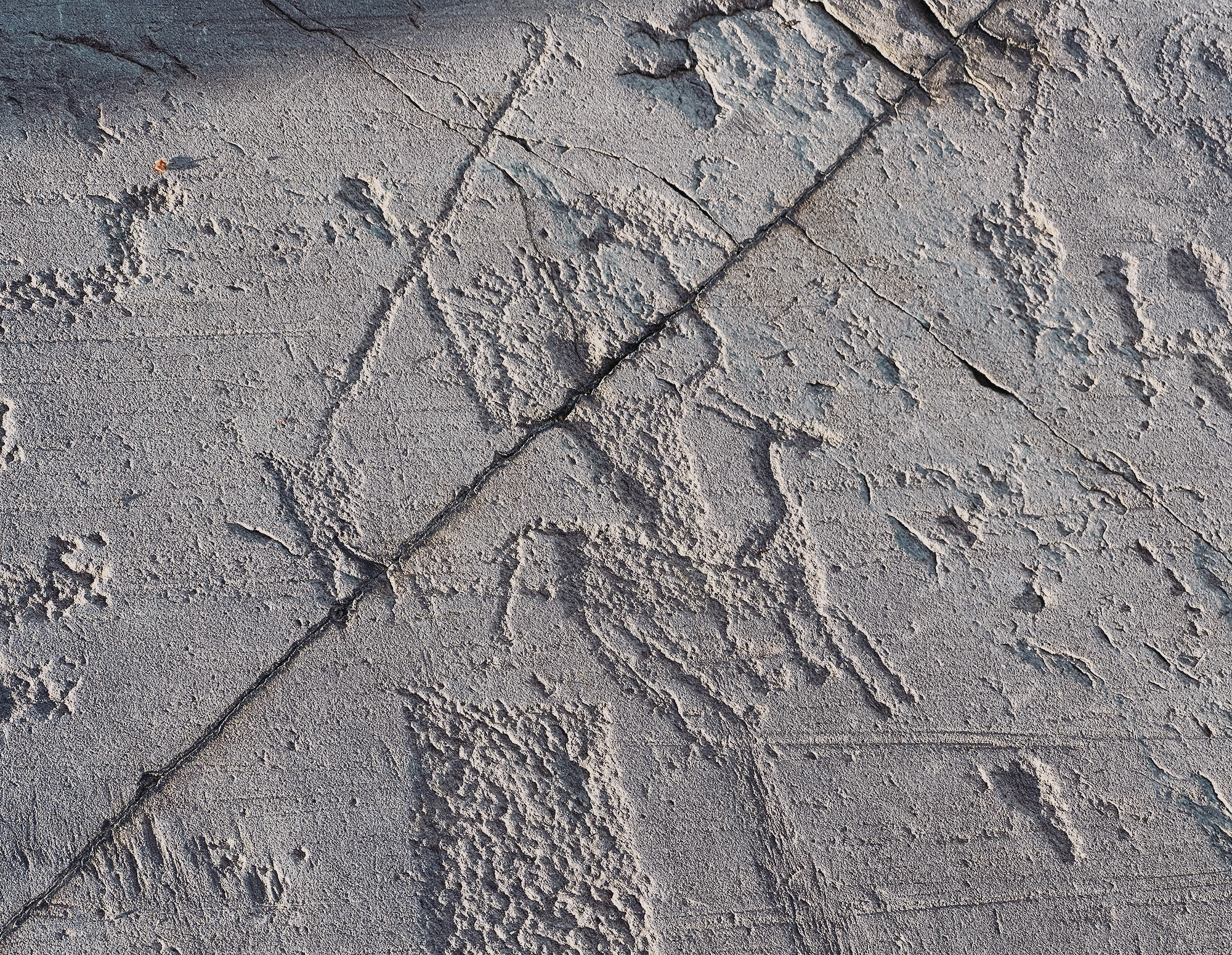
The Luine Area of Lago Moro Park, on rock whose prevalent colour is the typical purple of the Pietra Simona stone - a sandstone which looks more ancient than the Verrucano Lombardo stone of Capo di Ponte - contains some of the oldest rock engravings in the Camuno cycle, dating back to the late Upper Palaeolithic and Mesolithic periods, around 15,000 to 10,000 BC.
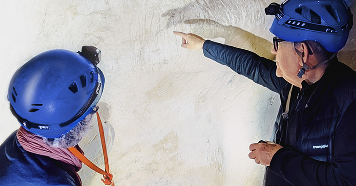
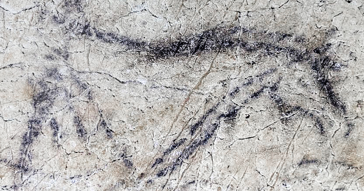
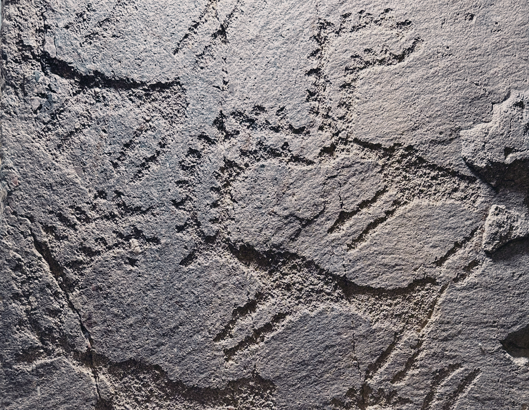
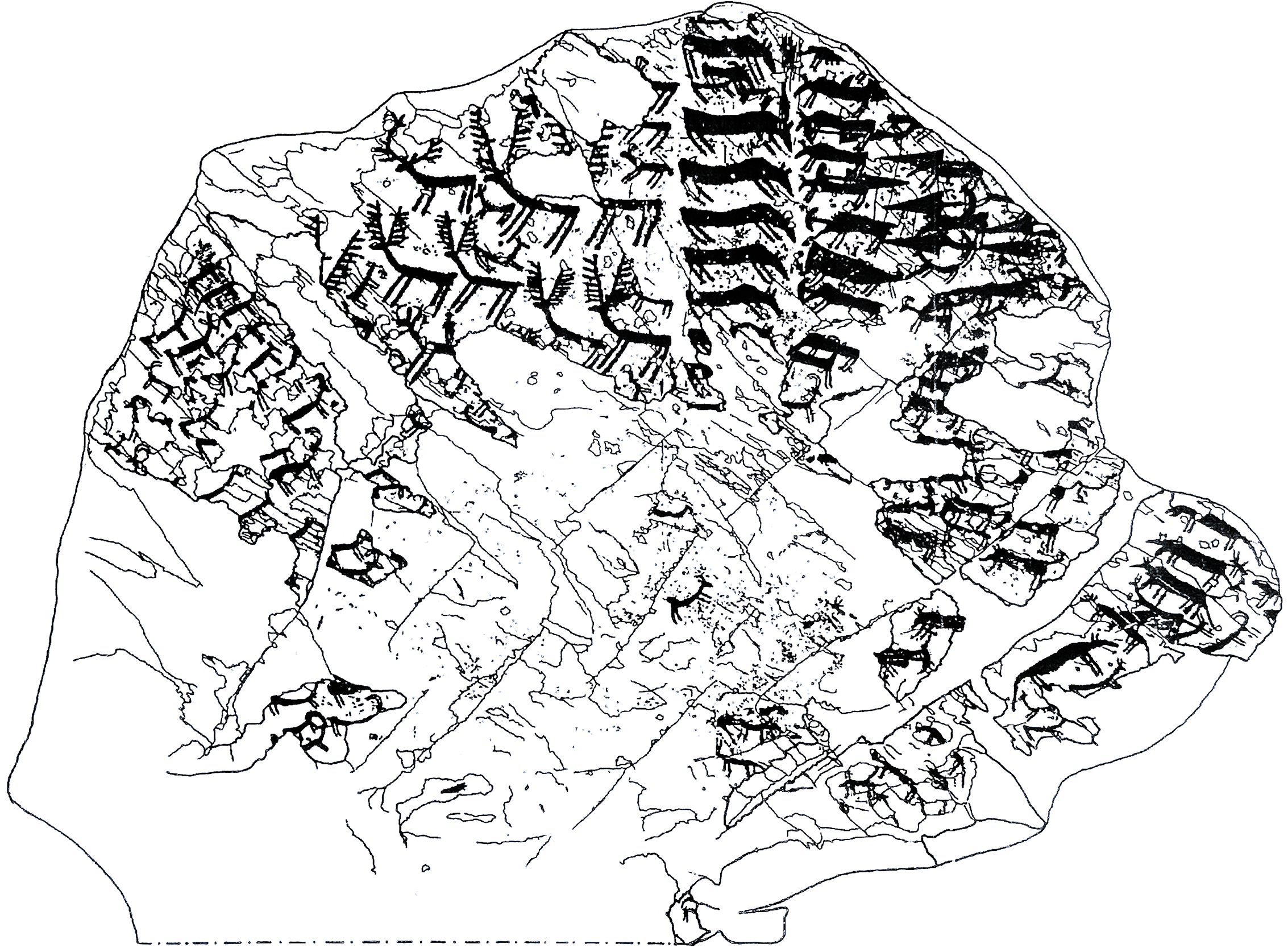
The Palaeolithic carvings (such as the deer with antlers) that Dario shared with us seemed to have a totally different 'feel' to the other later carvings; harder to see (yet entirely visible with explanation and tracings) and whose style suggested 'deep time'. Following this early period archaeologists believe the area was abandoned but then reinhabited during the Neolithic (4th millennium BC) through the Copper Age, Bronze Age and Iron Age (1st millennium BC). The outcrops feature depictions of animals (such as elk and deer), hunters, and daily life. There are also geometric motifs, groups of weapons (axes, daggers and halberds - a 'lethal' medieval shaft with a spear point and an axe blade), Camunian roses and alphabetic inscriptions.
Who were these people, dedicated to such a long story-telling tradition and carving so diligently over successive periods of time? The Camunni were an ancient population inhabiting this large Alpine valley as the ice retreated northwards. Classical authors of the 1st century AD referred to them as 'Camunni' (Latin), stating that they lived in the region from at least the Iron Age (12th century BC onward) until their Roman conquest in the 1st century AD. The valley's name, 'Vallis Camunnorum', literally means 'Valley of the Camunni'. Their origins are described as obscure, but ancient writers such as Strabo associated them with the Rhaetian peoples, who occupied the central Alps, and linked them to the Lepontii, a Celtic-speaking group. Yes, the Celts originated in northern Italy.
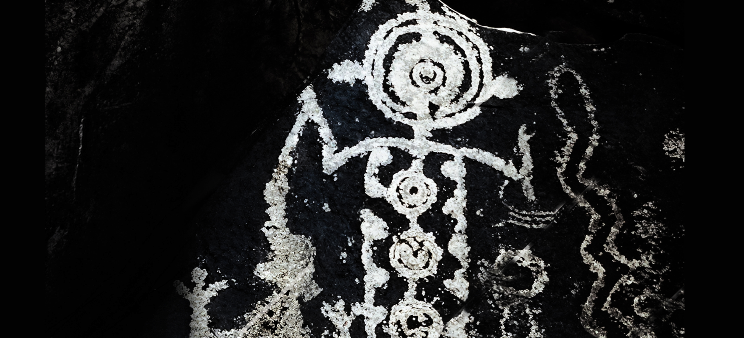
The Camunni likely practiced an animistic, Alpine belief system, based on natural forces and ritual symbolism. The Camunian rose is the most iconic Camunian symbol: a closed, looping line around nine cup-marks, appearing in symmetrical, asymmetrical, or swastika-like forms. Its interwoven geometrical structure may have been a solar or cosmological symbol associated with cycles and renewal, vitality and protection. A stylized Camunian rose is now the official symbol of Lombardy.
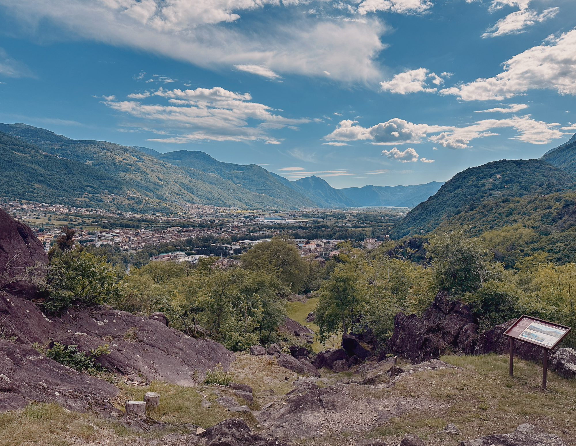
Lago Moro Park
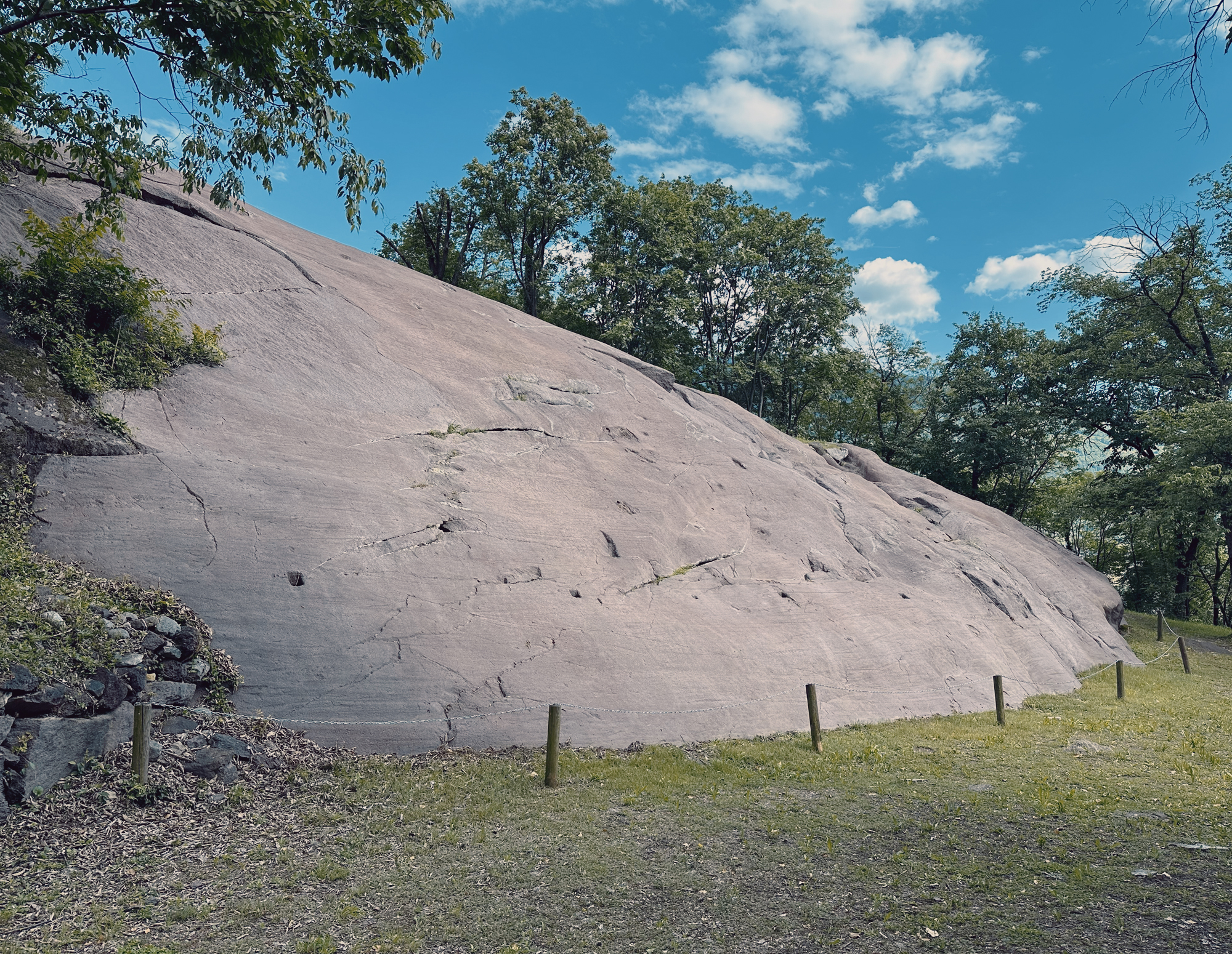
Lago Moro Park
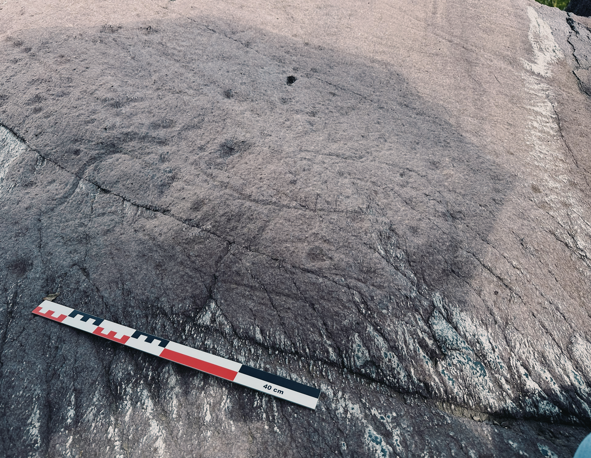
back to the late Upper Palaeolithic
of the deer
eastern side of the valley
most iconic Camunian symbol
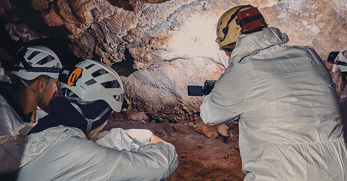
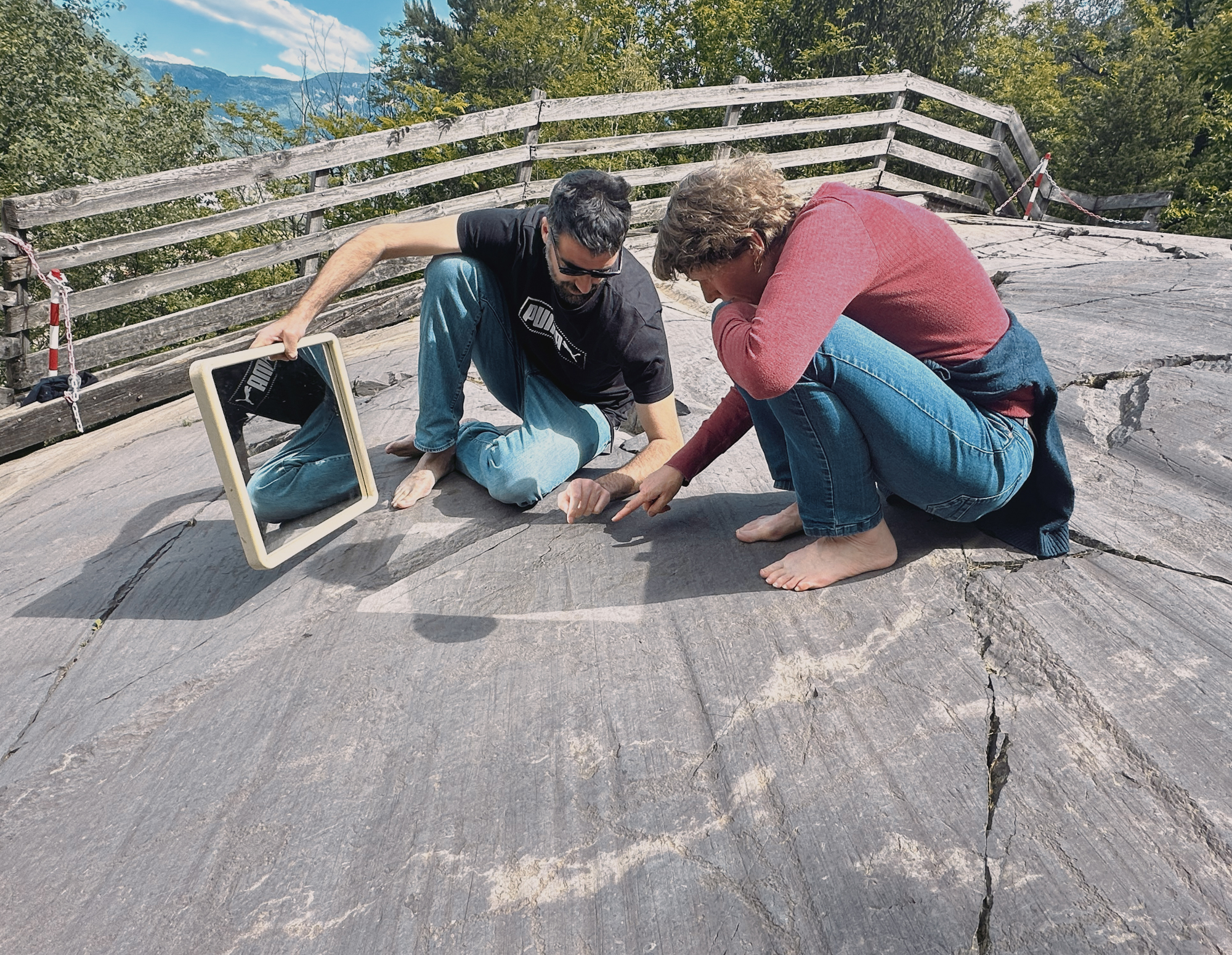
We spent 2 full days in this exceptional valley. Armed with their mirror and large black umbrella, Angelo, Dario and George presented a clear picture of a complicated sequence of events in this alpine valley, represented by the prehistorical to historical-era engravings, executed by striking the rock surface with hammerstones (the percussion technique) or by making grooves with pointed tools (linear engraving). Valcamonica is world-famous - Italy's first UNESCO World Heritage Site in 1979 - because of its scale and significance. Scale: the 70 km valley contains over 140,000 recorded engravings, with estimates rising to 200,000?300,000 as discoveries continue. Much remains covered. Significance: based on its 'continuity' - the engravings span over 8,000 years, from the late Palaeolithic through Roman and medieval times.
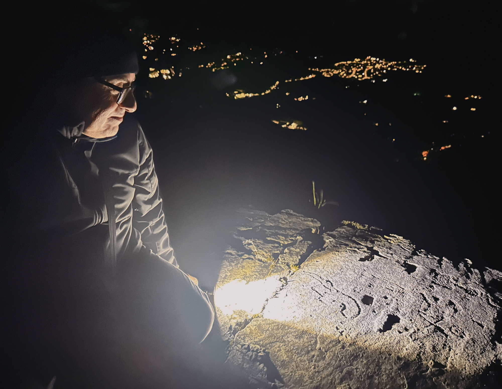
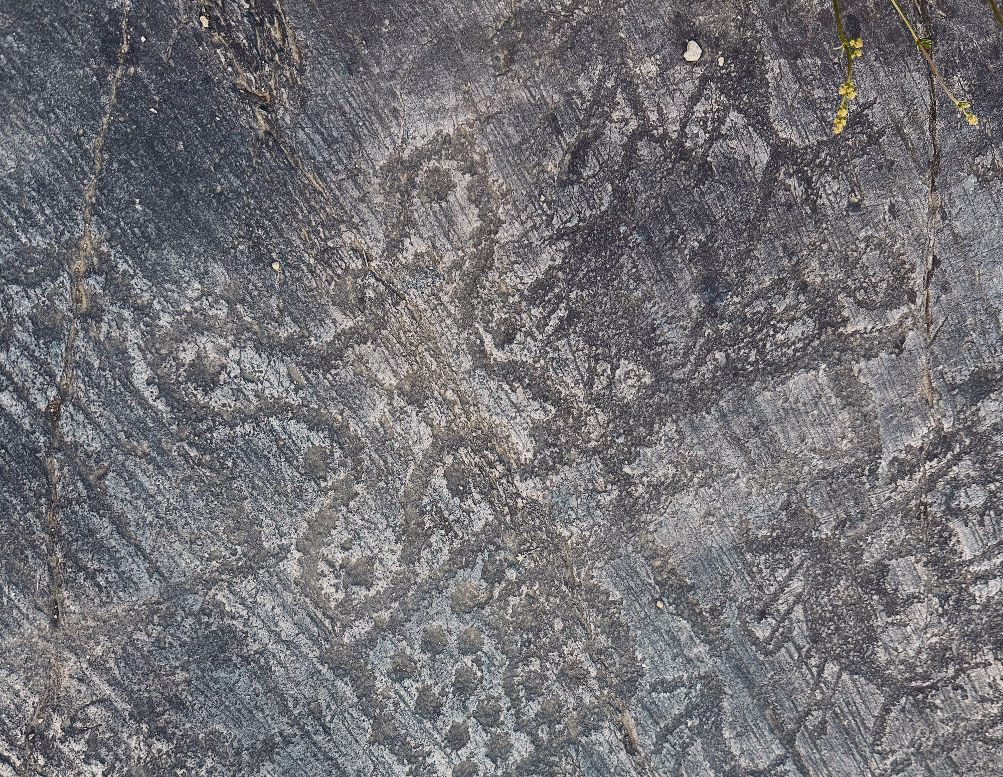
The mirror and umbrella were essential tools during our visit; viewing the carvings in the daytime with the high sun of early summer is difficult. They are best seen with the sun at oblique angles - dawn or dusk - but the mirror could deflect the direct sunlight onto the carvings and the umbrella would filter the ambient light, thus highlighting the art. Or, best seen at night; it was a privilege and a 'first' to be taken into the mountains on a torchlit tour to be shown the Iron Age warriors of Paspardo with the distant twinkling lights of Capo di Ponte in the valley far below. Another visual aid was the set of print-outs of tracings - tracings of outlines large and small, faint and bold on transparent plastic - that Angelo and Dario et al had painstakingly made over the years.
The carved depictions form a kind of visual archive of prehistoric and historic life and thought. In no particular order (although this seems the most likely) the themes represented are hunting and rituals, war and conflict, and farming and construction. Throughout the whole sequence there are geometric symbols. The scenes reveal how societies evolved from hunter-gatherers to agricultural communities and more complex cultures. The carvings were made by the 'ancient peoples of the valley' and over time the art reflected major cultural shifts: from prehistoric periods with animal figures, hunting scenes and rituals; through to the Neolithic and Bronze Ages with agriculture, tools, and rituals; to the Iron Age with perhaps more complex, narrative scenes and symbolic systems; to Roman and medieval periods with scripts and new religious motifs.
Valcamonica is a key resource for archaeology, anthropology, and sociology. It is a record of human cognition and communication, showing the rise of symbolic thinking, using images and ideograms to store and transmit knowledge. One of the most famous elements of this resource is the Bronze Age 'Bedolina Map', interpreted as a prehistoric topographic map showing fields and settlements - an early attempt to represent landscape spatially, with a network of rectangular and square shapes, lines like paths or boundaries connecting areas, small dots or cup marks and occasional human figures and huts. No longer looking out but looking down, charting the transition from hunter-gatherer survival to organized society, from open range to territory.
Whether this was inspired by standing on the outcrop (where the map was to be carved) and looking down into the valley below, identifying pockets of organized arrangements, and then perhaps realizing the outcrop itself had a topography that resembled the view below - thus sparking that epiphanous moment - may be too fanciful a thought. The map may simply be a symbolic and guiding representation (like the schematic map of the London Underground) rather than an actual guide or a scale model. Nevertheless, at a second carved map discovered nearby more recently, Angelo and Dario were able to demonstrate, by emptying a bottle of water into a small hollow at the top of the outcrop, how the water followed a carved groove down to an arrangement of squares containing dots that reminded us all of an irrigation channel or stream leading to cultivated fields.
There is always a clear 'favourite' after a field trip; for me it was not a particular carving (although I have a shortlist) but instead an area. Naquane has a wonderful 'spirit of place' that resonates on many levels, no matter in what archaeological period you happen to experience it. Our thanks to our organiser Dr. George Nash and our guides and new friends Dr. Angelo Fossati and Dr. Dario Sigari for a remarkable field trip.